
Obrigado por apoiar este site ❤️
Faça uma doação
Faça uma doação
Mapa topográfico Cordillera Central
Clique no mapa para exibir a altitude.
Obrigado por apoiar este site ❤️
Faça uma doação
Faça uma doação
Cordillera Central
The Cauca Valley montane forests ecoregion covers the western slope of the range. The Magdalena Valley montane forests cover the eastern slopes and the northern end of the cordillera. The Northern Andean páramo covers the highest elevations.
Obrigado por apoiar este site ❤️
Faça uma doação
Faça uma doação
Sobre este mapa
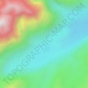
Nome: Mapa topográfico Cordillera Central, altitude, relevo.
Altitude média: 3.706 m
Altitude mínima: 3.424 m
Altitude máxima: 4.285 m
Obrigado por apoiar este site ❤️
Faça uma doação
Faça uma doação