
Obrigado por apoiar este site ❤️
Faça uma doação
Faça uma doação
Mapa topográfico Magal
Clique no mapa para exibir a altitude.
Obrigado por apoiar este site ❤️
Faça uma doação
Faça uma doação
Magal
Kibbutz Magal was founded in 1953 as a Nahal settlement on a hill overlooking the Samaria hills and what was then the border with Jordan. The kibbutz sits on a hill known from the War of Independence as the "86th Regiment"—on any elevation of the hill above the sea level (86 meters). The kibbutz was founded by the Tzofim battalion, but when they left, Nahal members began to settle there, which continued to reach it until the 1980s.
Obrigado por apoiar este site ❤️
Faça uma doação
Faça uma doação
Sobre este mapa
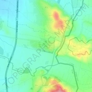
Nome: Mapa topográfico Magal, altitude, relevo.
Altitude média: 65 m
Altitude mínima: 31 m
Altitude máxima: 150 m
Obrigado por apoiar este site ❤️
Faça uma doação
Faça uma doação