
Mapa topográfico 南靖县
Mapa interativo
Clique no mapa para exibir a altitude.
Sobre este mapa
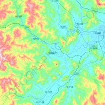
Nome: Mapa topográfico 南靖县, altitude, relevo.
Local: 南靖县, 漳州市, 福建省, 中国 (24.35678 117.19239 24.67678 117.51239)
Altitude média: 262 m
Altitude mínima: 6 m
Altitude máxima: 1.043 m
Outros mapas topográficos
Clique em um mapa para visualizar sua topografia, sua altitude e seu relevo.