
Mapa topográfico Holalkere
Mapa interativo
Clique no mapa para exibir a altitude.
Sobre este mapa
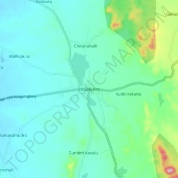
Nome: Mapa topográfico Holalkere, altitude, relevo.
Altitude média: 715 m
Altitude mínima: 662 m
Altitude máxima: 948 m
Holalkere is located at 14°02′N 76°11′E / 14.03°N 76.18°E / 14.03; 76.18. It has an average elevation of 711 metres (2332 feet).