
Mapa topográfico Backnang
Mapa interativo
Clique no mapa para exibir a altitude.
Backnang
Before 1930 the title for this position was Stadtschultheiß. In 1930 the title became Bürgermeister (Mayor), and in 1956 with the elevation of Backnang to a "large district town," the title was changed to Oberbürgermeister (Lord Mayor).
Sobre este mapa
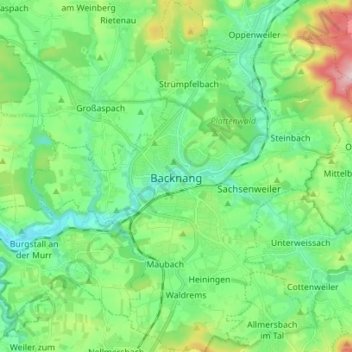
Nome: Mapa topográfico Backnang, altitude, relevo.
Altitude média: 302 m
Altitude mínima: 216 m
Altitude máxima: 539 m