
Obrigado por apoiar este site ❤️
Faça uma doação
Faça uma doação
Mapa topográfico Coast Mountains
Clique no mapa para exibir a altitude.
Obrigado por apoiar este site ❤️
Faça uma doação
Faça uma doação
Coast Mountains
The Coast Mountains are part of the Pacific Ring of Fire—the ring of volcanoes and associated mountains around the Pacific Ocean—and contain some of British Columbia's highest mountains. Mount Waddington is the highest mountain of the Coast Mountains and the highest that lies entirely within British Columbia, located northeast of the head of Knight Inlet with an elevation of 4,019 metres (13,186 ft).
Obrigado por apoiar este site ❤️
Faça uma doação
Faça uma doação
Sobre este mapa
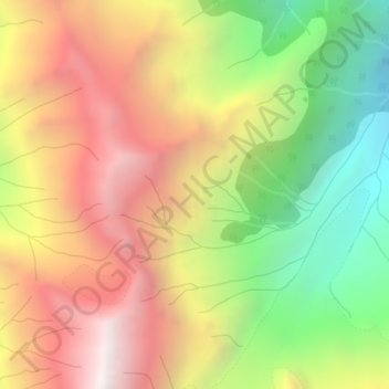
Nome: Mapa topográfico Coast Mountains, altitude, relevo.
Altitude média: 1.951 m
Altitude mínima: 1.105 m
Altitude máxima: 2.763 m
Obrigado por apoiar este site ❤️
Faça uma doação
Faça uma doação
Outros mapas topográficos
Clique em um mapa para visualizar sua topografia, sua altitude e seu relevo.