

Mapa topográfico Dras
Clique no mapa para exibir a altitude.
Dras
Dras (also spelt Drass, ISO transliteration: Drās), also known locally in Shina as Himababs, Hembabs, or Humas, is a town and hill station, near Kargil in the Kargil district of the union territory of Ladakh in India. It is on the NH 1 between Zoji La pass and Kargil. A tourist hub for its high-altitude trekking routes and tourist sites, it is often called "The Gateway to Ladakh". The government's official spelling of the town's name is "Drass".
Sobre este mapa
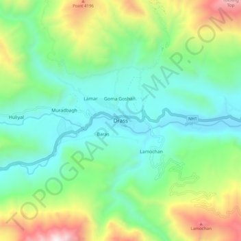
Nome: Mapa topográfico Dras, altitude, relevo.
Local: Dras, Drass, Kargil district, Ladakh, India (34.38927 75.71076 34.46927 75.79076)
Altitude média: 3.531 m
Altitude mínima: 3.045 m
Altitude máxima: 4.707 m