

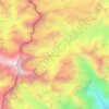
Mapa topográfico Singtam
Clique no mapa para exibir a altitude.
Singtam
Singtam is located at 27°09′N 88°23′E / 27.15°N 88.38°E / 27.15; 88.38. It has an average elevation of 1396 feet. As the town lies on the bank of two rivers River Teesta and Ranikhola, so during Monsoon especially from June to September the volume of both the river increases heavily, as a result destruction is caused on the low lying areas of the town especially at Adarsh gaon and Jublee line part of the town.
Sobre este mapa

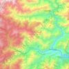
Nome: Mapa topográfico Singtam, altitude, relevo.
Local: Singtam, Gangtok, Sikkim, 737134, India (27.19200 88.45708 27.27200 88.53708)
Altitude média: 894 m
Altitude mínima: 302 m
Altitude máxima: 1.889 m
Outros mapas topográficos
Clique em um mapa para visualizar sua topografia, sua altitude e seu relevo.
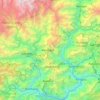
Mangan
Mangan is the largest of the six districts of Sikkim. The landscape is mountainous with dense vegetation all the way up to the alpine altitude before thinning out to desert scrub towards the northern tundra. Numerous waterfalls astride the main road make the trip to this district extremely picturesque.
Altitude média: 4.407 m
West Sikkim District
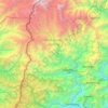
West Sikkim (now officially named as Geyzing District) is a district of the Indian state of Sikkim. Its headquarter is Geyzing, also known as Gyalshing. The district is a favourite with trekkers due to the high elevations. Other important towns include Pelling and Yuksom. Local people also call it as…
Altitude média: 2.686 m








Gurudongmar
India > Sikkim > Chungthang
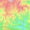
Gurudongmar Lake is one of the highest lakes in the world and in India, at an elevation of 5,430 m (17,800 ft) according to the Government of Sikkim. It is located in the Great Himalayas in the Mangan District in Indian state of Sikkim, and considered sacred by Buddhists and Sikhs. The lake is named after…
Altitude média: 5.232 m
Gyalshing
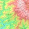
Gyalshing district or Geyzing district is a district of the Indian state of Sikkim. Its headquarter is Geyzing, also known as Gyalshing. The district is a favourite among trekkers due to the high elevations. Other important towns include Pelling and Yuksom. Local people also call it as Pallo-Sikkim and…
Altitude média: 3.139 m
Mangan
Mangan is the largest of the six districts of Sikkim. The landscape is mountainous with dense vegetation all the way up to the alpine altitude before thinning out to desert scrub towards the northern tundra. Numerous waterfalls astride the main road make the trip to this district extremely picturesque.
Altitude média: 4.407 m
