
Mapa topográfico Laage
Mapa interativo
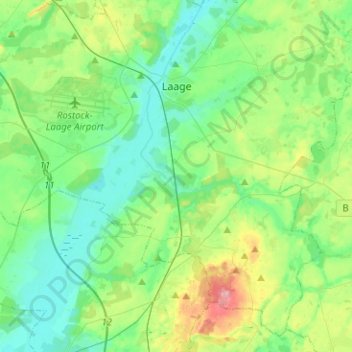
Clique no mapa para exibir a altitude.
Laage
To the west and east of the Recknitz-Urstromtal there are terminal moraines. Der Kalte Berg is 62m above the Normalhöhennull, the tallest point of elevation in the municipal area. Rostock Laage Airport is located a few kilometers west of Laage.
Sobre este mapa
Nome: Mapa topográfico Laage, altitude, relevo.
Altitude média: 39 m
Altitude mínima: 8 m
Altitude máxima: 127 m