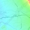
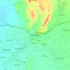
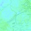
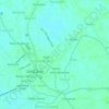
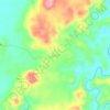
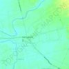
Mapa topográfico Urdaneta
Clique no mapa para exibir a altitude.
Urdaneta
Rainfall is heaviest in August, which is typically the peak of the rainy season, and lightest in January during the dry period. Humidity remains high year-round due to the city’s low elevation and proximity to coastal air masses, contributing to consistently warm and humid conditions. Humidity remains high year-round due to the city’s low elevation and proximity to coastal air masses, contributing to consistently warm and humid conditions.
Sobre este mapa

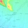
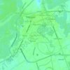
Nome: Mapa topográfico Urdaneta, altitude, relevo.
Local: Urdaneta, Pangasinan, Ilocos Region, 2428, Philippines (15.93067 120.48748 16.01880 120.63242)
Altitude média: 29 m
Altitude mínima: 14 m
Altitude máxima: 81 m
Outros mapas topográficos
Clique em um mapa para visualizar sua topografia, sua altitude e seu relevo.