
Faça uma doação
Mapa topográfico Crescent City
Clique no mapa para exibir a altitude.
Faça uma doação
Crescent City
The topography of the sea floor surrounding Crescent City has the effect of focusing tsunamis. According to researchers at Humboldt State University and the University of Southern California, the city experienced tsunami conditions 31 times between the years 1933 and 2008. Although many of these incidents were barely perceptible, eleven events included wave measurements exceeding one meter, four events caused damage, and one event in particular is commonly cited as "the largest and most destructive recorded tsunami to strike the United States Pacific Coast."
Faça uma doação
Sobre este mapa
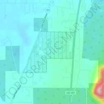
Nome: Mapa topográfico Crescent City, altitude, relevo.
Local: Crescent City, Del Norte County, California, United States (41.84782 -124.16017 41.85846 -124.14190)
Altitude média: 31 m
Altitude mínima: 2 m
Altitude máxima: 203 m
Faça uma doação
Outros mapas topográficos
Clique em um mapa para visualizar sua topografia, sua altitude e seu relevo.
Smith River National Recreation Area
United States > California > Del Norte County
Altitude média: 720 m
Faça uma doação
Klamath Glen
United States > California > Del Norte County
Klamath Glen is an unincorporated community in Del Norte County, California. It is located on the Klamath River 5 miles (8 km) from its mouth, at an elevation of 46 feet (14 m).
Altitude média: 97 m