
Faça uma doação
Mapa topográfico Al Aziziyah 1st District
Clique no mapa para exibir a altitude.
Faça uma doação
Sobre este mapa
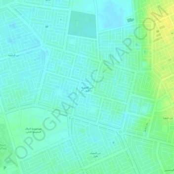
Nome: Mapa topográfico Al Aziziyah 1st District, altitude, relevo.
Altitude média: 151 m
Altitude mínima: 143 m
Altitude máxima: 166 m
Faça uma doação
Outros mapas topográficos
Clique em um mapa para visualizar sua topografia, sua altitude e seu relevo.
Ar Rub` al Khali
Saudi Arabia > Eastern Province > Al Ahsa Governorate
The desert is 1,000 kilometres (620 miles) long, and 500 kilometres (310 miles) wide. Its surface elevation varies from 800 metres (2,600 ft) in the southwest to around sea level in the northeast. Most of the terrain is ergs, with sand dunes up to 250 metres (820 ft) high, interspersed with gravel and gypsum…
Altitude média: 183 m
Faça uma doação
Faça uma doação
Faça uma doação
Al Qarah Mountain
Saudi Arabia > Eastern Province > Al Ahsa Governorate > الدالوة
Altitude média: 142 m
Faça uma doação
Ar Rub` al Khali
Saudi Arabia > Eastern Province > Al Ahsa Governorate
The desert is 1,000 kilometres (620 miles) long, and 500 kilometres (310 miles) wide. Its surface elevation varies from 800 metres (2,600 ft) in the southwest to around sea level in the northeast.[4] The terrain is covered with sand dunes with heights up to 250 metres (820 ft), interspersed with gravel and…
Altitude média: 183 m
Faça uma doação