
Mapa topográfico Chongchuan District
Mapa interativo
Clique no mapa para exibir a altitude.
Sobre este mapa
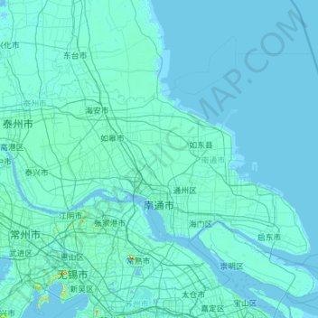
Nome: Mapa topográfico Chongchuan District, altitude, relevo.
Local: Chongchuan District, Nantong City, Jiangsu, 226000, China (31.65818 120.19729 32.71467 121.97468)
Altitude média: 4 m
Altitude mínima: -3 m
Altitude máxima: 313 m