
Obrigado por apoiar este site ❤️
Faça uma doação
Faça uma doação
Mapa topográfico Paris Basin
Clique no mapa para exibir a altitude.
Obrigado por apoiar este site ❤️
Faça uma doação
Faça uma doação
Paris Basin
The landscape is one of very broad valleys (flood plains), modest watershed hills and well-drained plateaux of comparatively little altitude. In the south-east and east the plain of Champagne and the Seuil de Bourgogne (Threshold of Burgundy) differential erosion of the strata has left low scarps with the dip slopes towards the centre. The varying nature of the clays, limestones and chalk gives rise to the characteristics of the regions such as Champagne Humide (Damp Champagne), Champagne Pouilleuse (poor Champagne), the Pays de Caux and the Pays de Bray.
Obrigado por apoiar este site ❤️
Faça uma doação
Faça uma doação
Sobre este mapa
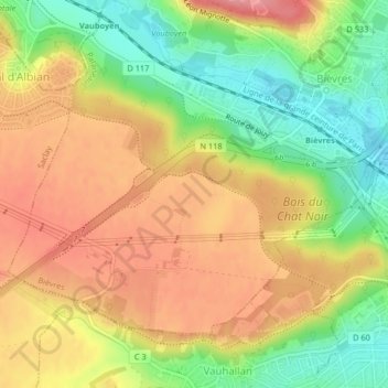
Nome: Mapa topográfico Paris Basin, altitude, relevo.
Altitude média: 126 m
Altitude mínima: 70 m
Altitude máxima: 174 m
Obrigado por apoiar este site ❤️
Faça uma doação
Faça uma doação