Mapa topográfico Mount Agung
Clique no mapa para exibir a altitude.
Mount Agung
Australia's Bureau of Meteorology reported on 27 November that ash from the eruption had been observed at an altitude of 9,144 m. By the beginning of December, the eruption reduced to minor emissions of steam and smoke. On 12 December, a picture of the crater was taken showing a steadily growing lava dome occupying approximately one third of the crater.
Sobre este mapa
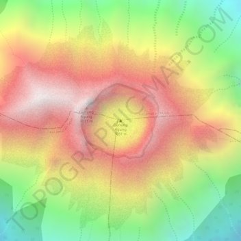
Nome: Mapa topográfico Mount Agung, altitude, relevo.
Altitude média: 2.534 m
Altitude mínima: 1.950 m
Altitude máxima: 3.010 m
Outros mapas topográficos
Clique em um mapa para visualizar sua topografia, sua altitude e seu relevo.