
Mapa topográfico Mount Kerinci
Mapa interativo
Clique no mapa para exibir a altitude.
Sobre este mapa
Nome: Mapa topográfico Mount Kerinci, altitude, relevo.
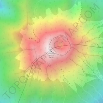
Local: Mount Kerinci, Kerinci, Jambi, Indonesia (-1.69723 101.26460 -1.69713 101.26470)
Altitude média: 3.229 m
Altitude mínima: 2.658 m
Altitude máxima: 3.773 m
Mount Kerinci (also spelled Kerintji, among several other ways, and referred to as Gunung Kerinci, Gadang, Berapi Kurinci, Kerinchi, Korinci/Korintji, or Peak of Indrapura/Indrapoera) is an active stratovolcano and the highest mountain in Sumatra, Indonesia. At 12,484 ft (3,805 m) above sea level, it provides Sumatra with the fifth-highest maximum elevation of any island in the world. It is surrounded by the lush forest of Kerinci Seblat National Park, home to several endangered species including the Sumatran tiger and Sumatran rhinoceros.