
Mapa topográfico Dingstede
Mapa interativo
Clique no mapa para exibir a altitude.
Sobre este mapa
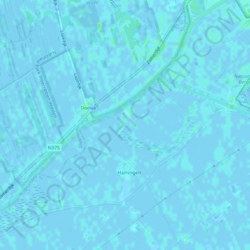
Nome: Mapa topográfico Dingstede, altitude, relevo.
Local: Dingstede, Staphorst, Overijssel, Nederland, 7951KJ, Nederland (52.66728 6.13335 52.68728 6.15335)
Altitude média: 0 m
Altitude mínima: -2 m
Altitude máxima: 3 m
Outros mapas topográficos
Clique em um mapa para visualizar sua topografia, sua altitude e seu relevo.
De Lichtmis
Nederland > Overijssel > Staphorst > De Lichtmis
De Lichtmis, Staphorst, Overijssel, Nederland, 7954 PK, Nederland
Altitude média: 0 m