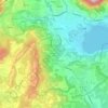
Mapa topográfico Monte Isola
Clique no mapa para exibir a altitude.
Monte Isola
The municipality covers a total area of 12.8 square kilometres (4.9 sq mi); the main island, Monte Isola, with an area of 4.5 square kilometres (1.7 sq mi) ranks as the largest lake island not only in Italy, but also in South and Central Europe, but is dwarfed by the large lake islands in Northern Europe. The peak of the island at 600 metres (1,969 feet) above sea level is 415 metres (1,362 feet) above the average surface elevation of Lake Iseo (185 m (607 ft)), making Monte Isola one of the highest lake islands in Europe.
Sobre este mapa
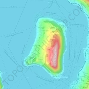
Nome: Mapa topográfico Monte Isola, altitude, relevo.
Altitude média: 220 m
Altitude mínima: 175 m
Altitude máxima: 557 m
Outros mapas topográficos
Clique em um mapa para visualizar sua topografia, sua altitude e seu relevo.