
Mapa topográfico Potter Valley
Clique no mapa para exibir a altitude.
Potter Valley
Potter Valley is a census-designated place in Mendocino County, California, United States. It is located 18 miles (29 km) north-northeast of Ukiah, at an elevation of 948 feet (289 m) at the headwaters of the East Fork Russian River. The CDP population was 665 at the 2020 census.
Sobre este mapa
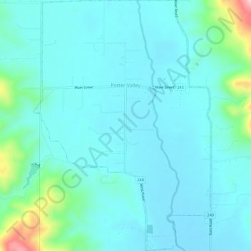
Nome: Mapa topográfico Potter Valley, altitude, relevo.
Local: Potter Valley, Mendocino County, California, United States (39.29397 -123.13185 39.33655 -123.09428)
Altitude média: 317 m
Altitude mínima: 275 m
Altitude máxima: 563 m