Mapa topográfico Forest-in-Teesdale
Mapa interativo
Clique no mapa para exibir a altitude.
Sobre este mapa
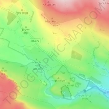
Nome: Mapa topográfico Forest-in-Teesdale, altitude, relevo.
Altitude média: 418 m
Altitude mínima: 289 m
Altitude máxima: 597 m

Clique no mapa para exibir a altitude.
Nome: Mapa topográfico Forest-in-Teesdale, altitude, relevo.
Altitude média: 418 m
Altitude mínima: 289 m
Altitude máxima: 597 m