
Faça uma doação
Mapa topográfico Tudor
Clique no mapa para exibir a altitude.
Faça uma doação
Sobre este mapa
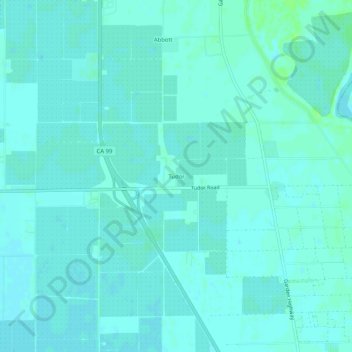
Nome: Mapa topográfico Tudor, altitude, relevo.
Altitude média: 13 m
Altitude mínima: 10 m
Altitude máxima: 19 m
Faça uma doação
Outros mapas topográficos
Clique em um mapa para visualizar sua topografia, sua altitude e seu relevo.
Yuba City
United States > California > Sutter County
On March 14, 1961, a Boeing B-52 Stratofortress carrying nuclear weapons, flying near Yuba City, encountered a pressurization problem, and had to drop to a lower altitude. Because of this, more fuel than expected was used, and the aircraft ran out of fuel. It crashed before meeting with a tanker aircraft. The…
Altitude média: 18 m
Faça uma doação