
Mapa topográfico Lake Bullen Merri
Mapa interativo
Clique no mapa para exibir a altitude.
Sobre este mapa
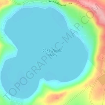
Nome: Mapa topográfico Lake Bullen Merri, altitude, relevo.
Altitude média: 171 m
Altitude mínima: 139 m
Altitude máxima: 281 m
The smaller lake to the north of Lake Bullen Merri has a maximum depth of 20 m (66 ft). The two lakes are linked by an overflow channel in the common wall at an elevation of 175 m. There is a 19th-century record of water from Bullen Merri overflowing into Gnotuk.
Outros mapas topográficos
Clique em um mapa para visualizar sua topografia, sua altitude e seu relevo.
Mount Sugarloaf
Australia > Victoria > Camperdown
Mount Sugarloaf, Camperdown, Shire of Corangamite, Victoria, 3260, Australia
Altitude média: 201 m
Camperdown
Australia > Victoria > Camperdown
Camperdown, Shire of Corangamite, Barwon South West, Victoria, 3260, Australia
Altitude média: 170 m