Mapa topográfico Oxenton
Mapa interativo
Clique no mapa para exibir a altitude.
Sobre este mapa
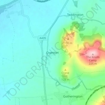
Nome: Mapa topográfico Oxenton, altitude, relevo.
Altitude média: 56 m
Altitude mínima: 16 m
Altitude máxima: 221 m

Clique no mapa para exibir a altitude.
Nome: Mapa topográfico Oxenton, altitude, relevo.
Altitude média: 56 m
Altitude mínima: 16 m
Altitude máxima: 221 m