
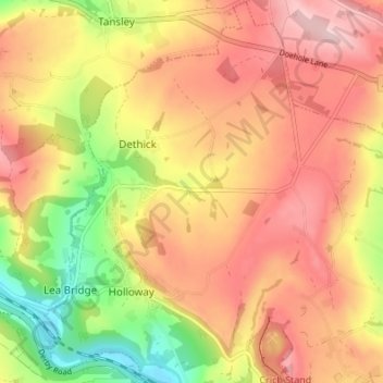
Mapa topográfico Dethick, Lea and Holloway CP
Mapa interativo
Clique no mapa para exibir a altitude.
Sobre este mapa
Nome: Mapa topográfico Dethick, Lea and Holloway CP, altitude, relevo.
Altitude média: 204 m
Altitude mínima: 74 m
Altitude máxima: 299 m