

Mapa topográfico American River
Clique no mapa para exibir a altitude.
American River
The North Fork is the longest tributary of the American River, at 88 miles (142 km). It begins at an elevation of about 7,900 feet (2,400 m) near Lake Tahoe in Placer County at Mountain Meadow Lake, just northeast of Granite Chief and immediately due west of Palisades Tahoe (formerly Squaw Valley) Ski Resort. It flows westward through remote wilderness areas.
Sobre este mapa
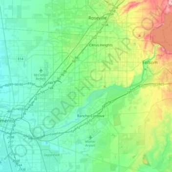
Nome: Mapa topográfico American River, altitude, relevo.
Altitude média: 44 m
Altitude mínima: 0 m
Altitude máxima: 197 m
Outros mapas topográficos
Clique em um mapa para visualizar sua topografia, sua altitude e seu relevo.

Stone Creek Community Park
United States > California > Sacramento County > Rancho Cordova
Altitude média: 33 m