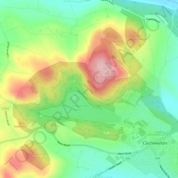
Mapa topográfico Castlewellan Forest Park
Mapa interativo
Clique no mapa para exibir a altitude.
Sobre este mapa
Nome: Mapa topográfico Castlewellan Forest Park, altitude, relevo.
Altitude média: 145 m
Altitude mínima: 63 m
Altitude máxima: 265 m

Clique no mapa para exibir a altitude.
Nome: Mapa topográfico Castlewellan Forest Park, altitude, relevo.
Altitude média: 145 m
Altitude mínima: 63 m
Altitude máxima: 265 m