
Mapa topográfico Oakhurst
Mapa interativo
Clique no mapa para exibir a altitude.
Oakhurst
According to the United States Census Bureau, the CDP had a total area of 1.614 square miles (4.178 km2), including 1.611 square miles (4.171 km2) of land and 0.003 square miles (0.006 km2) of water (0.16%). The CDP also has an elevation of 46 feet above sea level.
Sobre este mapa
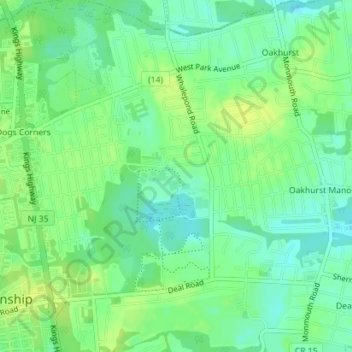
Nome: Mapa topográfico Oakhurst, altitude, relevo.
Altitude média: 15 m
Altitude mínima: 6 m
Altitude máxima: 23 m