
Mapa topográfico Visapur
Mapa interativo
Clique no mapa para exibir a altitude.
Visapur
It is located in Pune district, 5 to 6 km from Malavli Railway station out of which 3 km is steep road. It has an elevation of 1084 meters above sea level. It is built on the same plateau as Lohagad.
Sobre este mapa
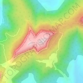
Nome: Mapa topográfico Visapur, altitude, relevo.
Altitude média: 822 m
Altitude mínima: 611 m
Altitude máxima: 1.076 m