
Mapa topográfico St. John's in the Vale
Mapa interativo
Clique no mapa para exibir a altitude.
Sobre este mapa
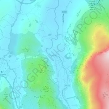
Nome: Mapa topográfico St. John's in the Vale, altitude, relevo.
Altitude média: 256 m
Altitude mínima: 134 m
Altitude máxima: 706 m
Outros mapas topográficos
Clique em um mapa para visualizar sua topografia, sua altitude e seu relevo.