
Mapa topográfico Venne
Mapa interativo
Clique no mapa para exibir a altitude.
Sobre este mapa
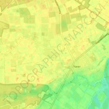
Nome: Mapa topográfico Venne, altitude, relevo.
Local: Venne, Neer, Leudal, Limburg, Niederlande, 6086 AX, Niederlande (51.24641 5.95513 51.28641 5.99513)
Altitude média: 28 m
Altitude mínima: 11 m
Altitude máxima: 34 m