
Mapa topográfico Mandeville
Clique no mapa para exibir a altitude.
Sobre este mapa
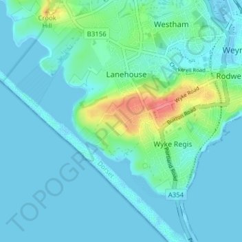
Nome: Mapa topográfico Mandeville, altitude, relevo.
Altitude média: 11 m
Altitude mínima: -5 m
Altitude máxima: 67 m
Outros mapas topográficos
Clique em um mapa para visualizar sua topografia, sua altitude e seu relevo.
Isle of Portland
United Kingdom > England > Dorset > Wyke Regis
In Museums Without Walls, Jonathan Meades declares that "Portland is a bulky chunk of geological, social, topographical and demographic weirdness. It is the obverse of a beauty spot. 'Beauty' in this construction implies the picturesque. Portland is gloriously bereft of this quality. It is awesome. There is…
Altitude média: 11 m