
Faça uma doação
Mapa topográfico Arizona City
Clique no mapa para exibir a altitude.
Faça uma doação
Arizona City
Arizona City itself is mostly flat, lying in the Santa Cruz Valley in the center of three low mountain ranges; the Sawtooth Mountains to the south, the Picacho Mountains to the east, and the Casa Grande Mountains to the north. Picacho Peak, a prominent peak with a summit elevation of 3,374 feet (1,028 m), is located approximately 20 miles (32 km) to the southeast adjacent to Interstate 10. Directly to the west of the CDP is the expansive Tohono O'odham Indian Reservation, which stretches 80 miles (130 km) south to the international border with Mexico.
Faça uma doação
Sobre este mapa
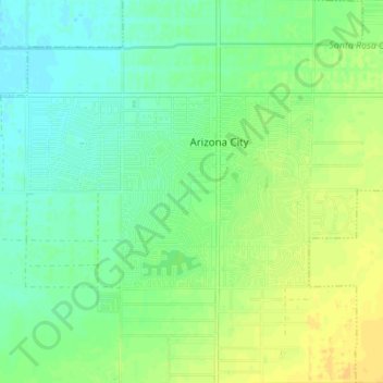
Nome: Mapa topográfico Arizona City, altitude, relevo.
Local: Arizona City, Pinal County, Arizona, United States (32.73372 -111.70562 32.76302 -111.63682)
Altitude média: 459 m
Altitude mínima: 449 m
Altitude máxima: 472 m
Faça uma doação