
Mapa topográfico Niederanven
Mapa interativo
Clique no mapa para exibir a altitude.
Sobre este mapa
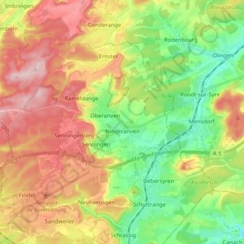
Nome: Mapa topográfico Niederanven, altitude, relevo.
Local: Niederanven, Canton Luxembourg, Luxemburgo (49.62298 6.14271 49.68629 6.28960)
Altitude média: 321 m
Altitude mínima: 218 m
Altitude máxima: 444 m