
Obrigado por apoiar este site ❤️
Faça uma doação
Faça uma doação
Mapa topográfico Frontenac Provincial Park
Clique no mapa para exibir a altitude.
Obrigado por apoiar este site ❤️
Faça uma doação
Faça uma doação
Frontenac Provincial Park
Frontenac Provincial Park is located near the town of Sydenham, north of the city of Kingston, Ontario, Canada. The Government of Ontario has classified Frontenac Provincial Park as a natural environment park. The park lies on the Frontenac Axis, a topographic extension of the Canadian Shield, which connects to the Adirondack Mountains, and consists of mixed forest, lakes, wetlands, and granite outcrops. Recreational opportunities include hiking, canoeing, and backcountry camping. Wilderness courses are offered to teach wilderness skills in a semi-wilderness setting.
Obrigado por apoiar este site ❤️
Faça uma doação
Faça uma doação
Sobre este mapa
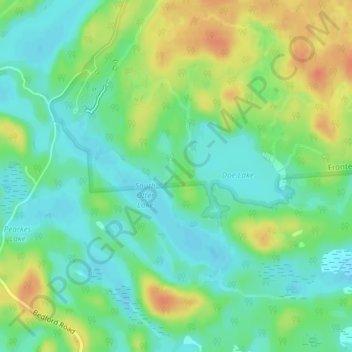
Nome: Mapa topográfico Frontenac Provincial Park, altitude, relevo.
Altitude média: 151 m
Altitude mínima: 134 m
Altitude máxima: 178 m
Obrigado por apoiar este site ❤️
Faça uma doação
Faça uma doação