
Obrigado por apoiar este site ❤️
Faça uma doação
Faça uma doação
Mapa topográfico Wolfhaag
Clique no mapa para exibir a altitude.
Obrigado por apoiar este site ❤️
Faça uma doação
Faça uma doação
Sobre este mapa
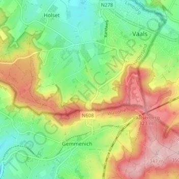
Nome: Mapa topográfico Wolfhaag, altitude, relevo.
Local: Wolfhaag, Vaals, Limburg, Nederland, 6291 NB, Nederland (50.73852 5.98127 50.77852 6.02127)
Altitude média: 237 m
Altitude mínima: 156 m
Altitude máxima: 345 m
Obrigado por apoiar este site ❤️
Faça uma doação
Faça uma doação