
Mapa topográfico Dlebta
Mapa interativo
Clique no mapa para exibir a altitude.
Dlebta
Dlebta (Arabic: دلبتا; also spelled Delebteh) is a village and municipality located in the Keserwan District of the Mount Lebanon Governorate in Lebanon. The village is 26 kilometres (16 mi) north of Beirut. It has an average elevation of 670 meters above sea level and a total land area of 323 hectares. Dlebta's inhabitants are Maronite Catholics and other Christians.
Sobre este mapa
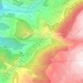
Nome: Mapa topográfico Dlebta, altitude, relevo.
Local: Dlebta, Keserwan District, Mount Lebanon Governorate, Lebanon (34.00093 35.67471 34.01689 35.70566)
Altitude média: 832 m
Altitude mínima: 380 m
Altitude máxima: 1.264 m