
Mapa topográfico Puncheston
Mapa interativo
Clique no mapa para exibir a altitude.
Sobre este mapa
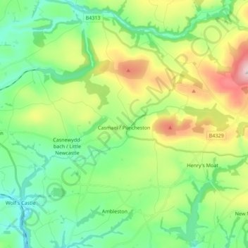
Nome: Mapa topográfico Puncheston, altitude, relevo.
Local: Puncheston, Pembrokeshire, Wales, United Kingdom (51.90302 -4.96180 51.96009 -4.79285)
Altitude média: 165 m
Altitude mínima: 28 m
Altitude máxima: 465 m
A map of 1578 shows the parish as Castle Male, presumably a phonetic spelling of the Welsh name by the English mapmaker. Lewis's Topographical Dictionary of 1844 gives 326 inhabitants (the 1849 edition gives 255) for the parish, which includes the village and a number of outlying residences and farms. Lewis surmises that the original name was Castell Mael, deriving from an ancient encampment of which there are remains. A railway passed through the parish in the 19th and 20th centuries, with a halt at the village.