
Mapa topográfico Horn
Mapa interativo
Clique no mapa para exibir a altitude.
Sobre este mapa
Nome: Mapa topográfico Horn, altitude, relevo.
Altitude média: 812 m
Altitude mínima: 773 m
Altitude máxima: 1.169 m
Outros mapas topográficos
Clique em um mapa para visualizar sua topografia, sua altitude e seu relevo.
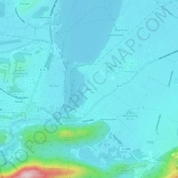
Forggensee
Deutschland > Bayern > Landkreis Ostallgäu > Schwangau
Forggensee, Schwangau, Roßhaupten (VGem), Landkreis Ostallgäu, Bayern, Deutschland
Altitude média: 821 m
Bleckenau
Deutschland > Bayern > Landkreis Ostallgäu > Schwangau
Bleckenau, Schwangau, Landkreis Ostallgäu, Bayern, Deutschland
Altitude média: 1.435 m
Branderschrofen
Deutschland > Bayern > Landkreis Ostallgäu > Schwangau
Branderschrofen, Schwangau, Landkreis Ostallgäu, Bayern, Deutschland
Altitude média: 1.423 m