
Mapa topográfico Witham on the Hill
Mapa interativo
Clique no mapa para exibir a altitude.
Sobre este mapa
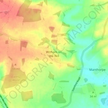
Nome: Mapa topográfico Witham on the Hill, altitude, relevo.
Altitude média: 43 m
Altitude mínima: 13 m
Altitude máxima: 73 m
Outros mapas topográficos
Clique em um mapa para visualizar sua topografia, sua altitude e seu relevo.
Witham on the Hill
United Kingdom > England > Lincolnshire > South Kesteven > Witham on the Hill
Altitude média: 45 m