
Faça uma doação
Mapa topográfico Covered Bridge
Clique no mapa para exibir a altitude.
Faça uma doação
Sobre este mapa
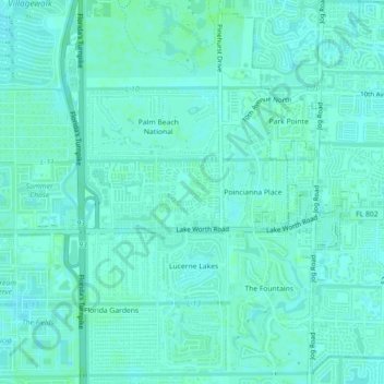
Nome: Mapa topográfico Covered Bridge, altitude, relevo.
Altitude média: 9 m
Altitude mínima: 6 m
Altitude máxima: 13 m
Faça uma doação
Outros mapas topográficos
Clique em um mapa para visualizar sua topografia, sua altitude e seu relevo.
West Palm Beach
United States > Florida > Palm Beach County
Northwood Hills Historic District: On August 4, 2003, the City Commission designated the Northwood Hills neighborhood as the 13th Historic District in the City of West Palm Beach. Northwood Hills comprises the area from 29th Street on the South to 39th Court on the North. The east side of Windsor is the…
Altitude média: 4 m
Lake Worth Beach
United States > Florida > Palm Beach County > Lake Worth Beach
Lake Worth Beach is located at 26°37′11″N 80°3′31″W / 26.61972°N 80.05861°W / 26.61972; -80.05861, bordering West Palm Beach to the north, Lake Clarke Shores to the northeast, and Lantana to the south. The municipal beach section of the city borders Palm Beach, while Lake Worth Beach is…
Altitude média: 6 m