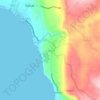
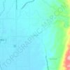
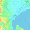
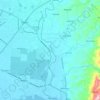
Mapa topográfico Tagum
Clique no mapa para exibir a altitude.
Tagum
One of the significant accomplishments of the officialdom of Tagum during the 1990s was its elevation from a second to the first-class municipality. This opened a gateway to increase its financial resources through the Internal Revenue Allocation (IRA) from the national government and local revenues. This was under the leadership of Hon Victorio R. Suaybaguio, Jr. who sat as mayor Tagum for three consecutive terms (1988–1998). As a matter of fact, during the 1995 election, all incumbent elected officials of Tagum, from Mayor down to the municipal councilors, were unopposed, making a significant event in the political history of Tagum.
Sobre este mapa
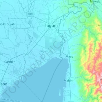
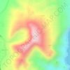
Nome: Mapa topográfico Tagum, altitude, relevo.
Local: Tagum, Davao del Norte, Davao Region, 8100, Philippines (7.24646 125.73385 7.51058 125.88725)
Altitude média: 95 m
Altitude mínima: 0 m
Altitude máxima: 1.146 m
Outros mapas topográficos
Clique em um mapa para visualizar sua topografia, sua altitude e seu relevo.
Tagum
One of the significant accomplishments of the officialdom of Tagum during the 1990s was its elevation from a second to the first-class municipality. This opened a gateway to increase its financial resources through the Internal Revenue Allocation (IRA) from the national government and local revenues. This was…
Altitude média: 103 m














Pantaron Range
Philippines > Davao del Norte > Kapalong
This article related to topography is a stub. You can help Wikipedia by expanding it.
Altitude média: 409 m