
Mapa topográfico Azra
Mapa interativo
Clique no mapa para exibir a altitude.
Azra
Azra ou el-Azr (Arabic: العذرا والعذر; also spelled Aazra ouel Aazr or simply Azra) is a municipality located in the Keserwan District of the Mount Lebanon Governorate in Lebanon. The municipality, which consists of the villages of Azra and el-Azr, is about 39 kilometres (24 mi) north of Beirut. It has an average elevation of 750 meters above sea level, a total land area of 113 hectares and is bordered by the villages of Zaaitreh, Zeitoun, Mradiyeh, Jouret Bedran and Ghbaleh.
Sobre este mapa
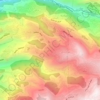
Nome: Mapa topográfico Azra, altitude, relevo.
Altitude média: 674 m
Altitude mínima: 72 m
Altitude máxima: 1.099 m