
Obrigado por apoiar este site ❤️
Faça uma doação
Faça uma doação
Mapa topográfico Kerk Avezaath
Clique no mapa para exibir a altitude.
Obrigado por apoiar este site ❤️
Faça uma doação
Faça uma doação
Sobre este mapa
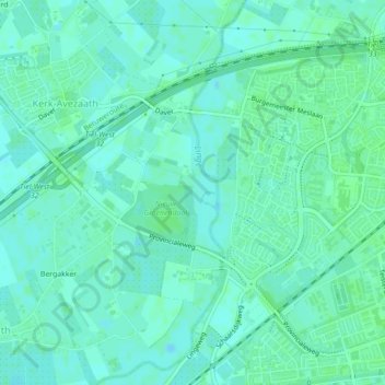
Nome: Mapa topográfico Kerk Avezaath, altitude, relevo.
Local: Kerk Avezaath, Tiel, Gelderland, Nederland (51.88176 5.38311 51.89858 5.40124)
Altitude média: 6 m
Altitude mínima: 2 m
Altitude máxima: 9 m
Obrigado por apoiar este site ❤️
Faça uma doação
Faça uma doação
Outros mapas topográficos
Clique em um mapa para visualizar sua topografia, sua altitude e seu relevo.