
Obrigado por apoiar este site ❤️
Faça uma doação
Faça uma doação
Mapa topográfico Wachtum
Clique no mapa para exibir a altitude.
Obrigado por apoiar este site ❤️
Faça uma doação
Faça uma doação
Sobre este mapa
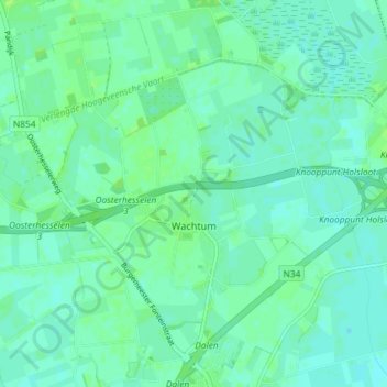
Nome: Mapa topográfico Wachtum, altitude, relevo.
Local: Wachtum, Coevorden, Drenthe, Nederland (52.71207 6.70857 52.74273 6.78152)
Altitude média: 13 m
Altitude mínima: 9 m
Altitude máxima: 19 m
Obrigado por apoiar este site ❤️
Faça uma doação
Faça uma doação
Outros mapas topográficos
Clique em um mapa para visualizar sua topografia, sua altitude e seu relevo.