Geolocalizar

Mapa topográfico Whitewell

Clique no mapa para exibir a altitude.

Sobre este mapa

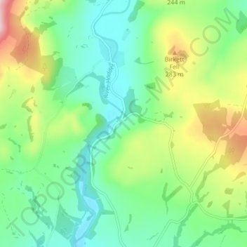
Nome: Mapa topográfico Whitewell, altitude, relevo.

Local: Whitewell, Bowland Forest Low, Ribble Valley, Lancashire, England, BB7 3AT, United Kingdom (53.89645 -2.53921 53.93645 -2.49921)

Altitude média: 184 m

Altitude mínima: 92 m

Altitude máxima: 383 m

Outros mapas topográficos

Clique em um mapa para visualizar sua topografia, sua altitude e seu relevo.

Read

United Kingdom > England > Lancashire > Ribble Valley > Read

Altitude média: 114 m

Mellor

United Kingdom > England > Lancashire > Ribble Valley > Mellor

Altitude média: 139 m

Whalley

United Kingdom > England > Lancashire > Ribble Valley

Altitude média: 95 m

Gisburn

United Kingdom > England > Lancashire > Ribble Valley

Altitude média: 160 m

Newton

United Kingdom > England > Lancashire > Ribble Valley

Altitude média: 223 m

Chipping

United Kingdom > England > Lancashire > Ribble Valley

Altitude média: 194 m

Barrow

United Kingdom > England > Lancashire > Ribble Valley

Altitude média: 84 m

Sabden

United Kingdom > England > Lancashire > Ribble Valley

Altitude média: 236 m

Dutton

United Kingdom > England > Lancashire > Ribble Valley

Altitude média: 134 m