
Mapa topográfico Boreal Forest
Clique no mapa para exibir a altitude.
Sobre este mapa
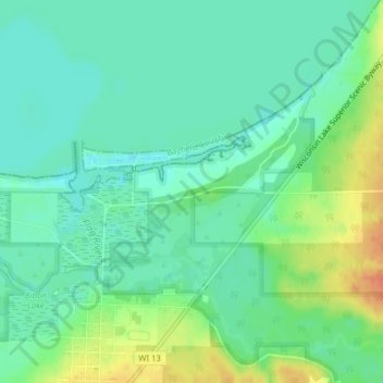
Nome: Mapa topográfico Boreal Forest, altitude, relevo.
Altitude média: 185 m
Altitude mínima: 170 m
Altitude máxima: 214 m
Outros mapas topográficos
Clique em um mapa para visualizar sua topografia, sua altitude e seu relevo.
Bayfield
United States > Wisconsin > Bayfield County
Bayfield was named in 1856 for Henry Bayfield, a British Royal Topographic Engineer who explored the region in 1822–23. A post office has been in operation at Bayfield since 1856.
Altitude média: 245 m