Mapa topográfico Draycott in the Clay
Mapa interativo
Clique no mapa para exibir a altitude.
Sobre este mapa
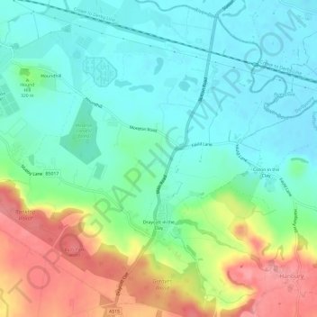
Nome: Mapa topográfico Draycott in the Clay, altitude, relevo.
Altitude média: 90 m
Altitude mínima: 59 m
Altitude máxima: 152 m

Clique no mapa para exibir a altitude.
Nome: Mapa topográfico Draycott in the Clay, altitude, relevo.
Altitude média: 90 m
Altitude mínima: 59 m
Altitude máxima: 152 m