
Mapa topográfico Guéret
Mapa interativo
Clique no mapa para exibir a altitude.
Guéret
Guéret has an oceanic climate (Köppen Cfb) influenced by its elevation and proximity to the Bay of Biscay's maritime inflow of Gulf Stream air. As a result, the climate is mild for its latitude, wet and also relatively gloomy.
Sobre este mapa
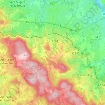
Nome: Mapa topográfico Guéret, altitude, relevo.
Altitude média: 473 m
Altitude mínima: 308 m
Altitude máxima: 689 m