
Mapa topográfico Berea
Mapa interativo
Clique no mapa para exibir a altitude.
Berea
Berea is located on the border of the Cumberland Plateau. The area has a mountainous appearance, but most outcroppings in the area have a maximum elevation of 2,500 feet or 760 metres.
Sobre este mapa
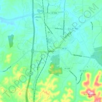
Nome: Mapa topográfico Berea, altitude, relevo.
Local: Berea, Madison County, Kentucky, 40404, United States (37.52869 -84.33632 37.60869 -84.25632)
Altitude média: 314 m
Altitude mínima: 264 m
Altitude máxima: 504 m