
Obrigado por apoiar este site ❤️
Faça uma doação
Faça uma doação
Mapa topográfico Bentonville
Clique no mapa para exibir a altitude.
Obrigado por apoiar este site ❤️
Faça uma doação
Faça uma doação
Bentonville
It lies along County Road 700N northwest of the city of Connersville, the county seat of Fayette County. Its elevation is 1,060 feet (323 m), and it is located at 39°44′43″N 85°11′39″W / 39.74528°N 85.19417°W / 39.74528; -85.19417 (39.7453242, -85.1941317).
Obrigado por apoiar este site ❤️
Faça uma doação
Faça uma doação
Sobre este mapa
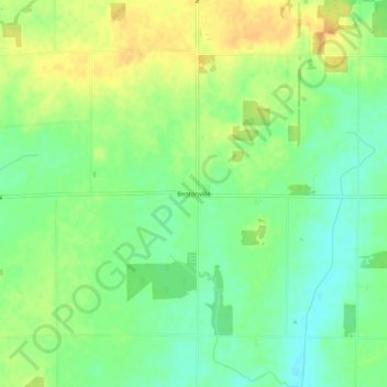
Nome: Mapa topográfico Bentonville, altitude, relevo.
Local: Bentonville, Fayette County, Indiana, 47322, United States (39.72515 -85.26388 39.76515 -85.22388)
Altitude média: 323 m
Altitude mínima: 306 m
Altitude máxima: 342 m
Obrigado por apoiar este site ❤️
Faça uma doação
Faça uma doação